coastMap - the marine Geoportal
coastMap is the marine Geoportal of the Hereon Institute of Carbon Cycles and Hereon Institute of Coastal Environmental Chemistry. It combines analyses and model data on seafloor conditions and those in the overlying water column with a focus on the North Sea and the atmosphere. It provides access to data of Hereon and its partner institutions. Focus areas of the portal are campaign data, model-based estimates and edited accounts of scientific topics. coastMap is a part of the Helmholtz Coastal Data Center.
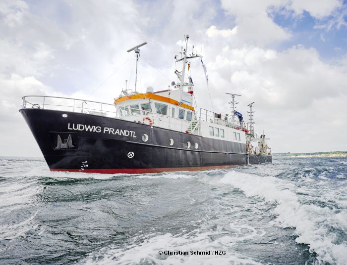
Access to the database for campaign data. Various search criteria can be used as filters and the data can be downloaded as shape or CSV files.
Database
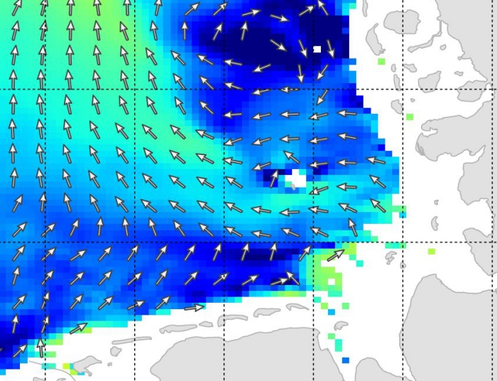
Access to various model data with further information and applications. These can be displayed interactively and be downloaded.
Model data
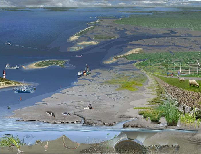
In this section the interested public can find edited scientific information in the form of Spotlights that are added by map and information material.
Spotlights